
Grand Teton National Park 1968 Map Print
$61
Materials: Paper
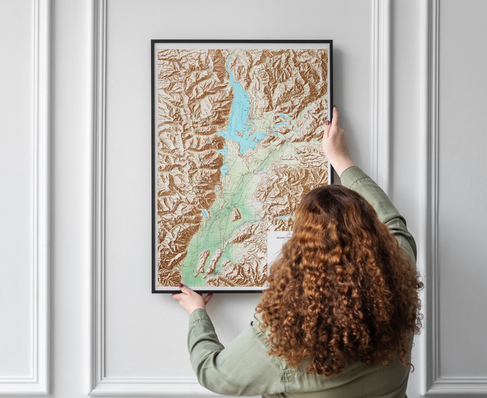
Full map.
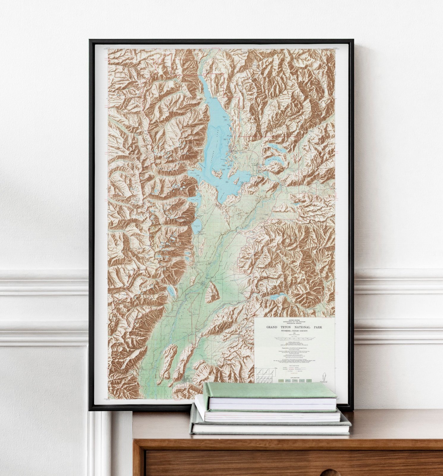
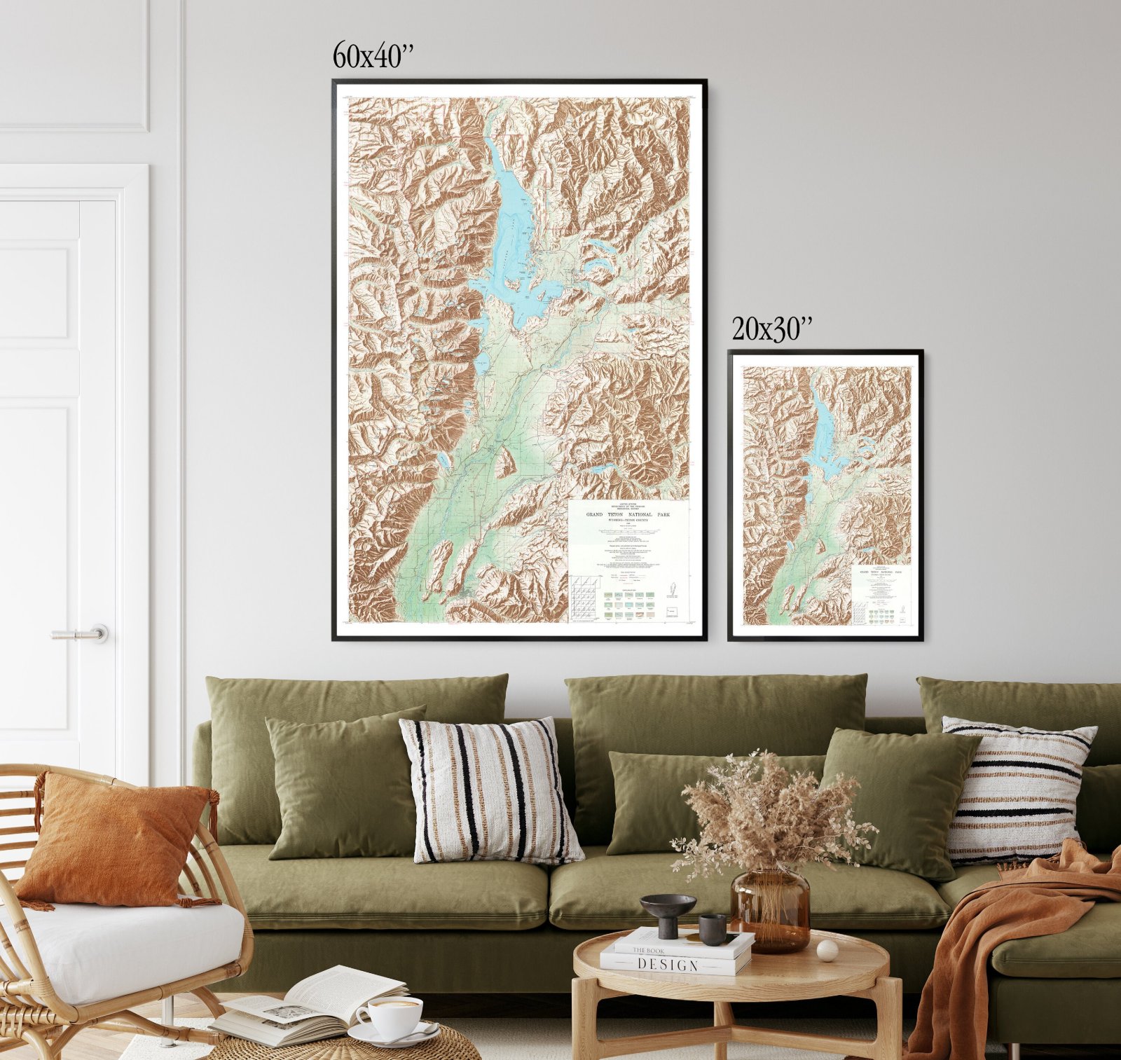
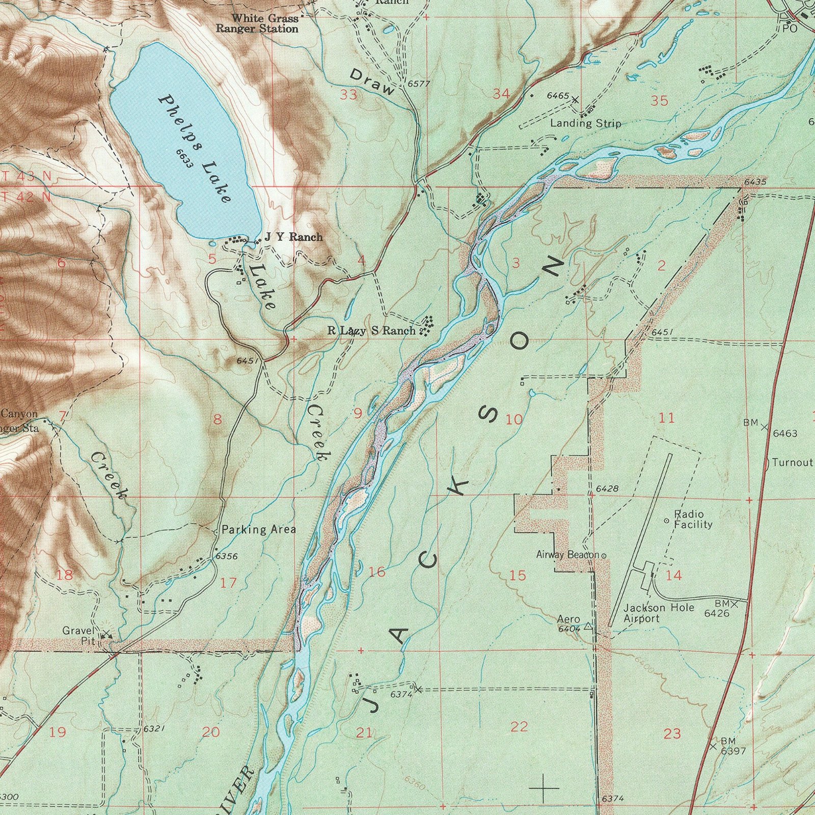
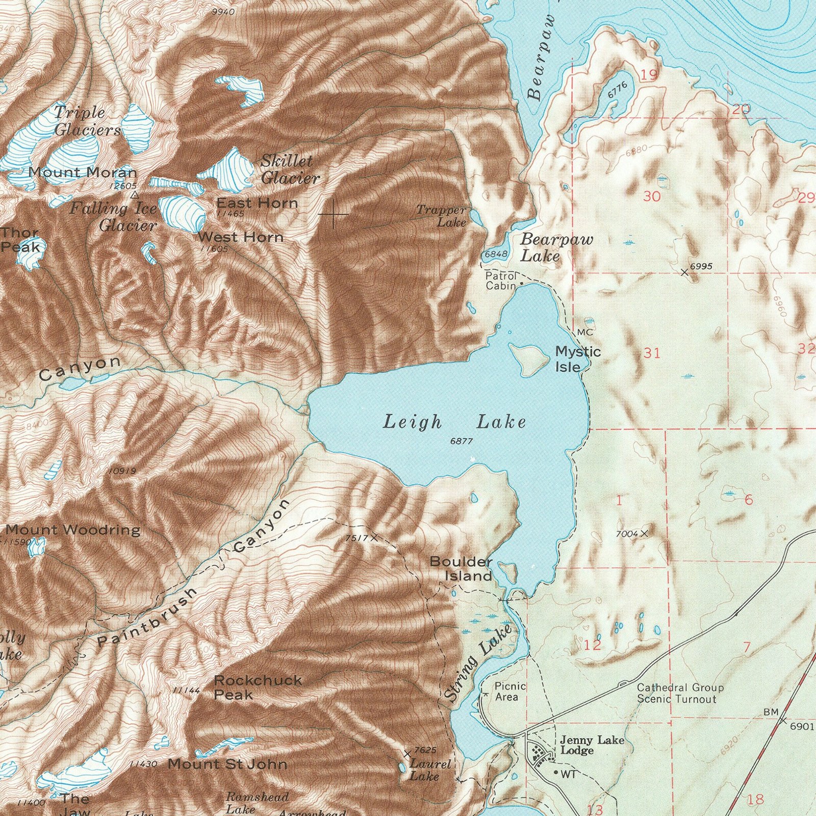
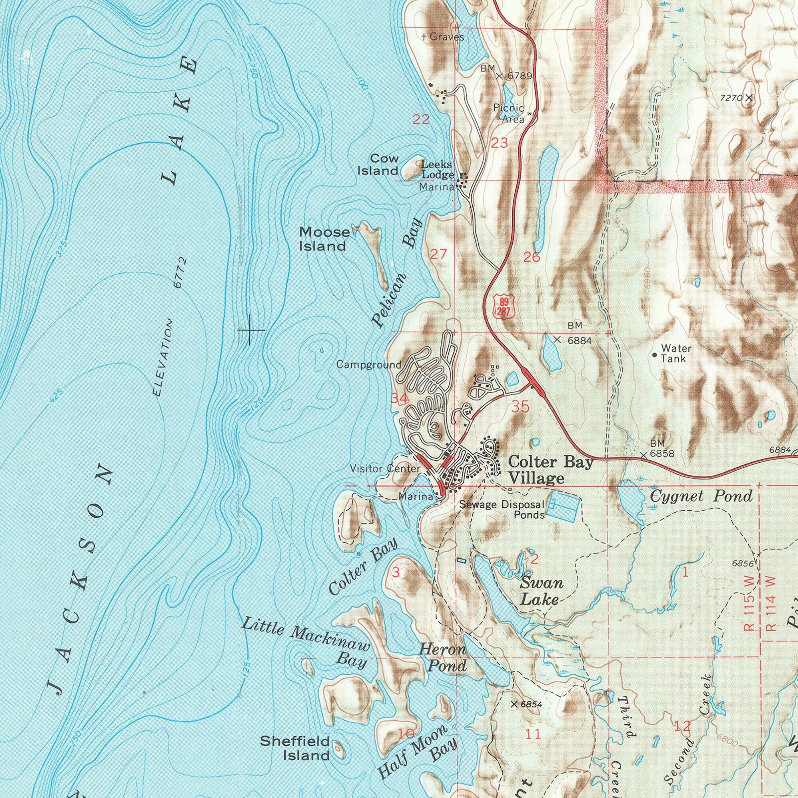
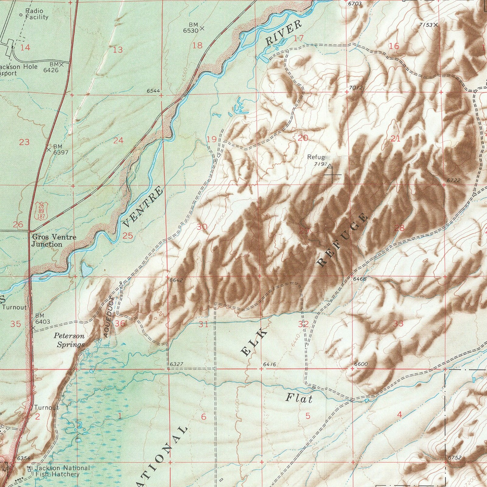
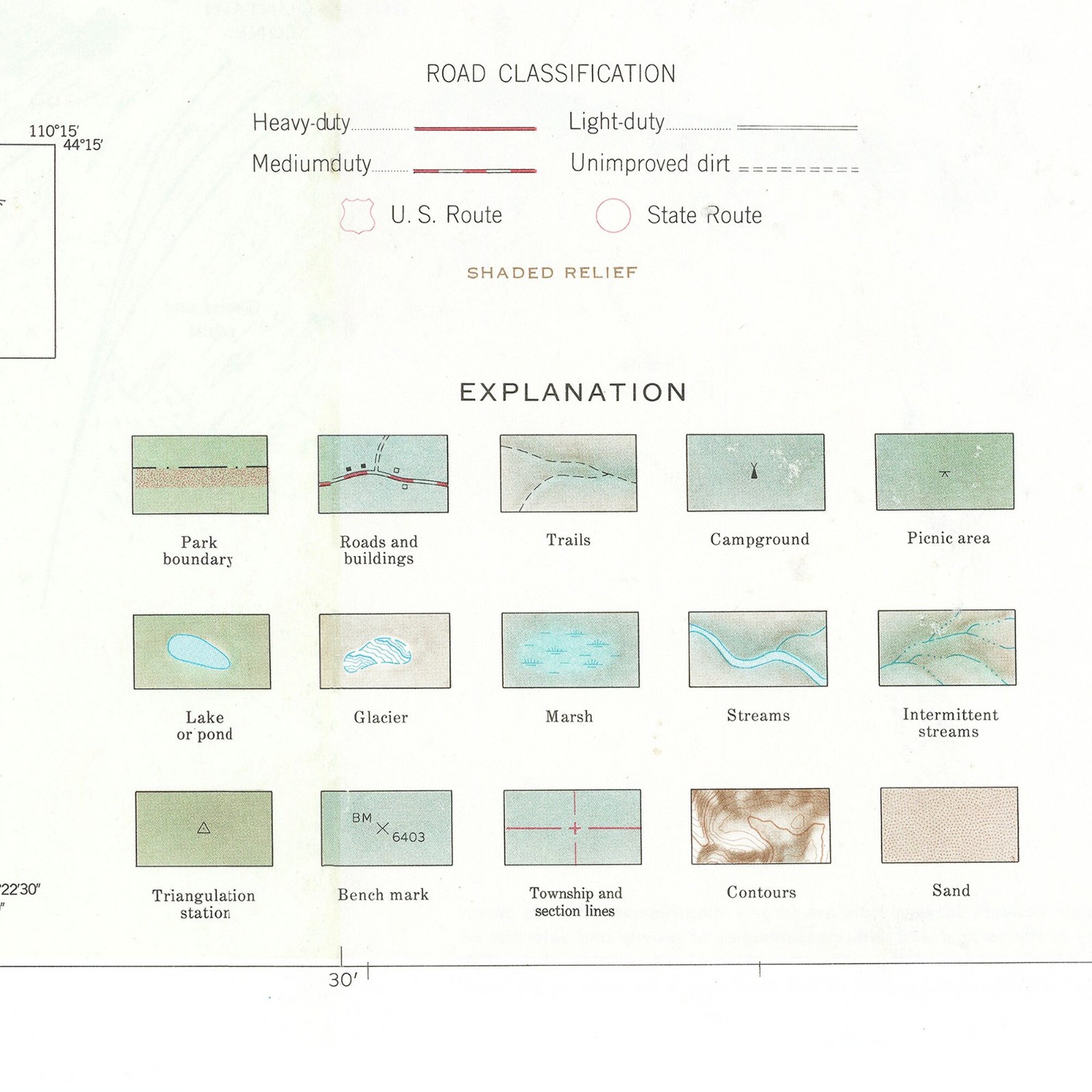
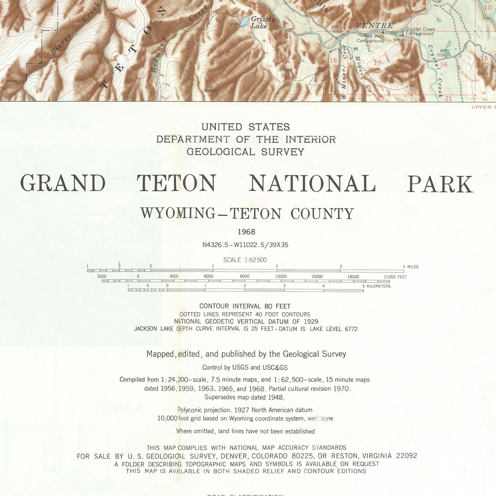
A 1968 U.S. Geological Survey 1:62,500 topographic map of Grand Teton National Park, showing Jackson Lake, the Snake River Valley and Jackson, Wyoming. That relief...those valley floor colors...
- Giclee print on 16 mil/300 gsm/110lb cotton rag hot press paper.
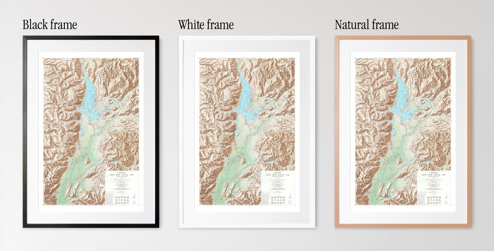
- Framed prints: solid wood frame with real glass, made in Kentucky; hanging hardware included.
- Unframed prints ship in a tube, framed prints ship in a box.
- Arrives within 5 business days.