
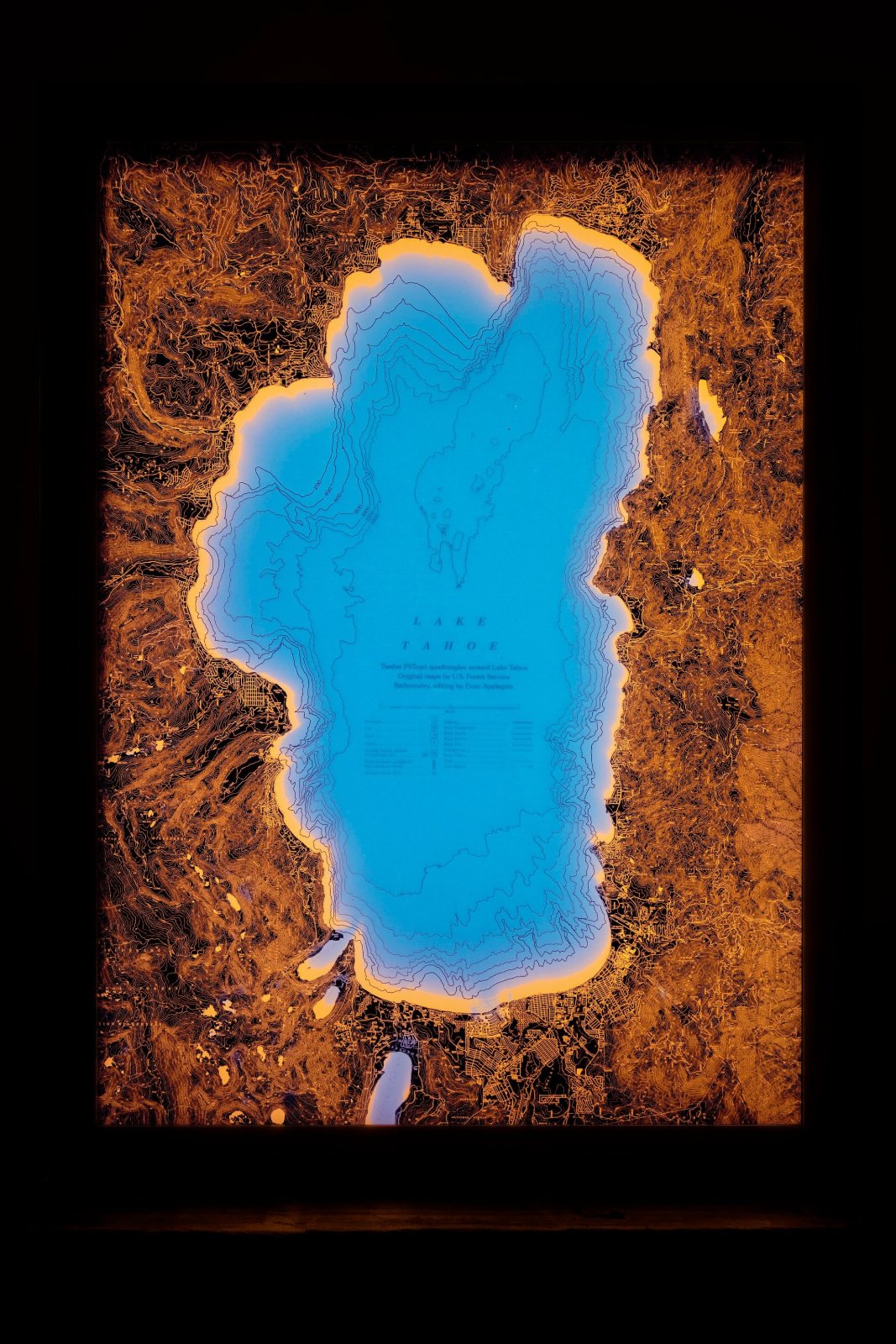
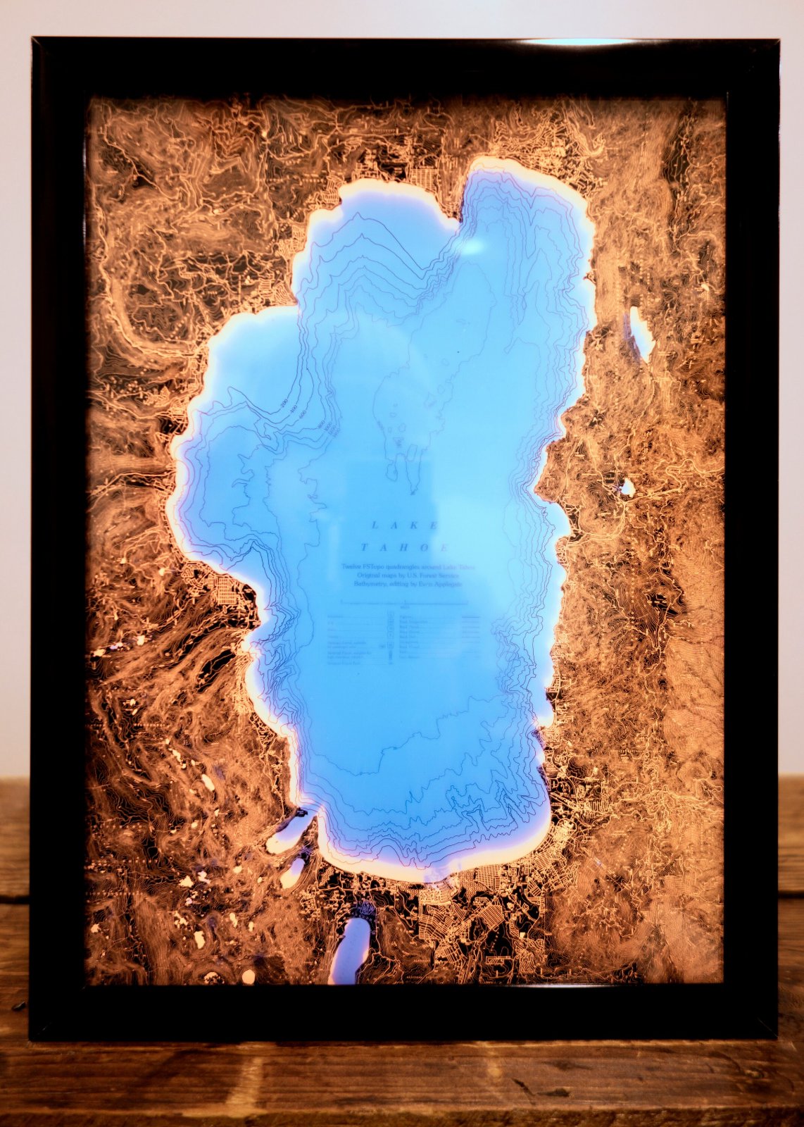
Lake Tahoe Backlit Map
$3,000
Materials: Glass, Aluminum
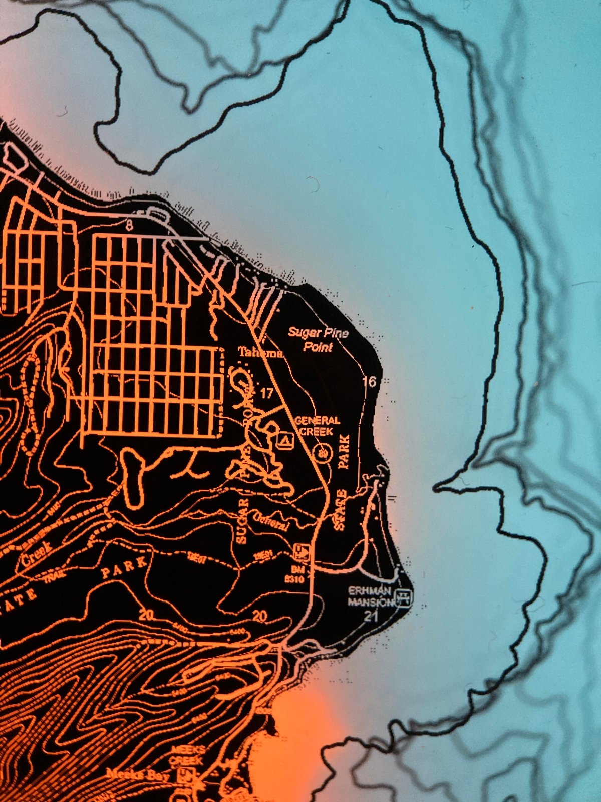
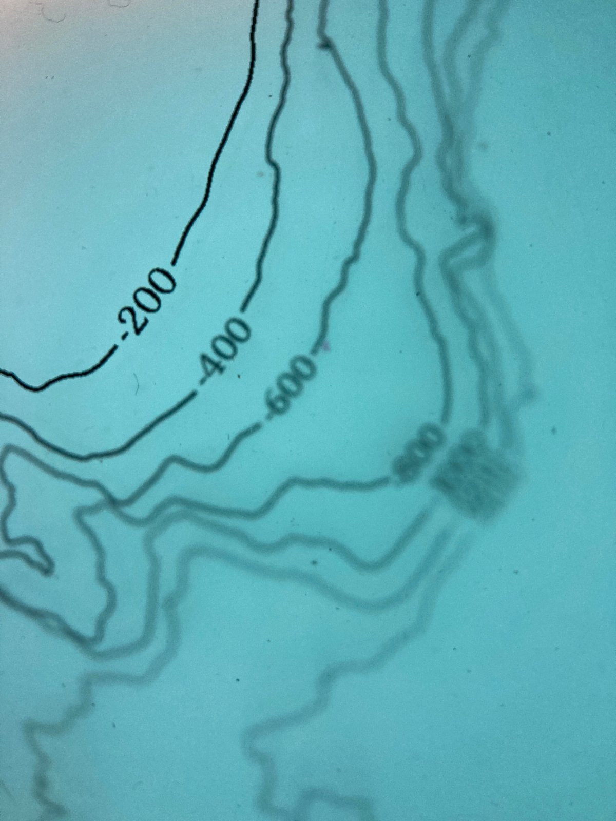
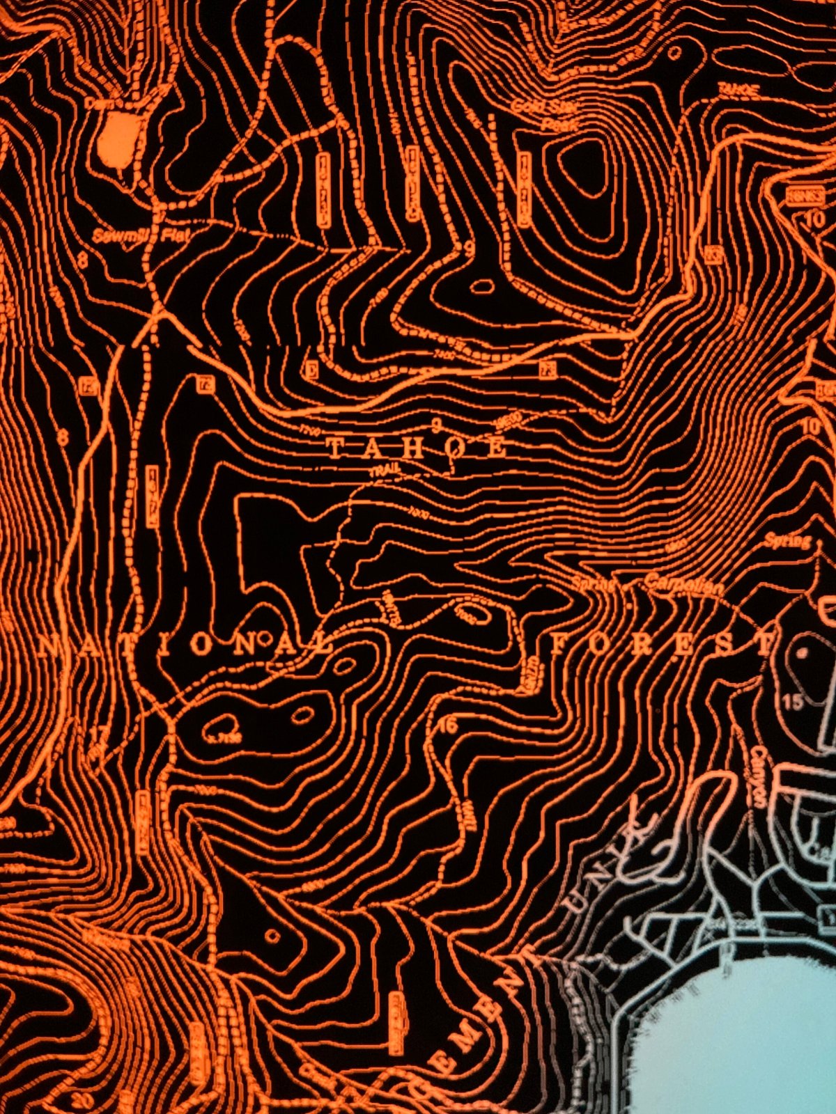
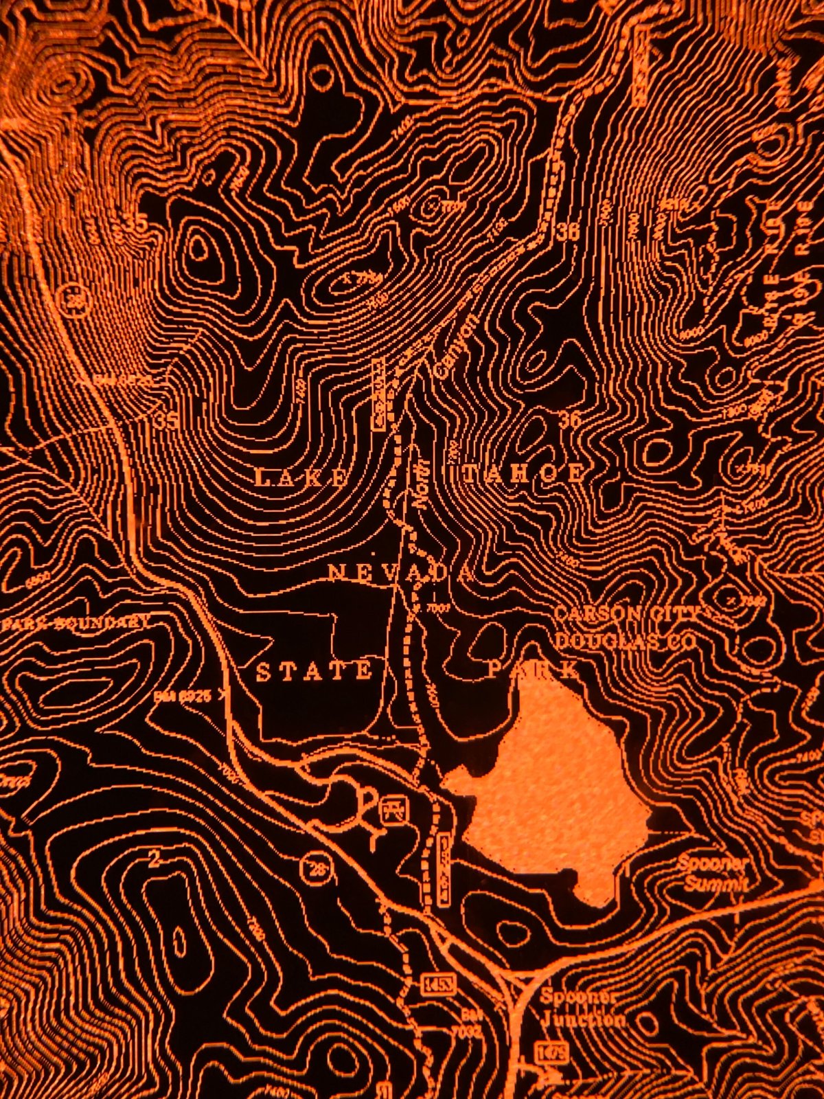
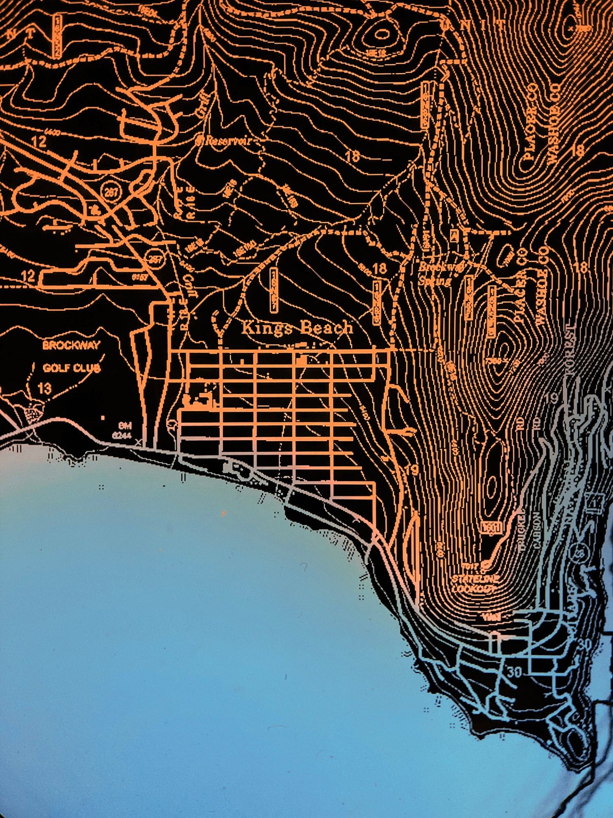
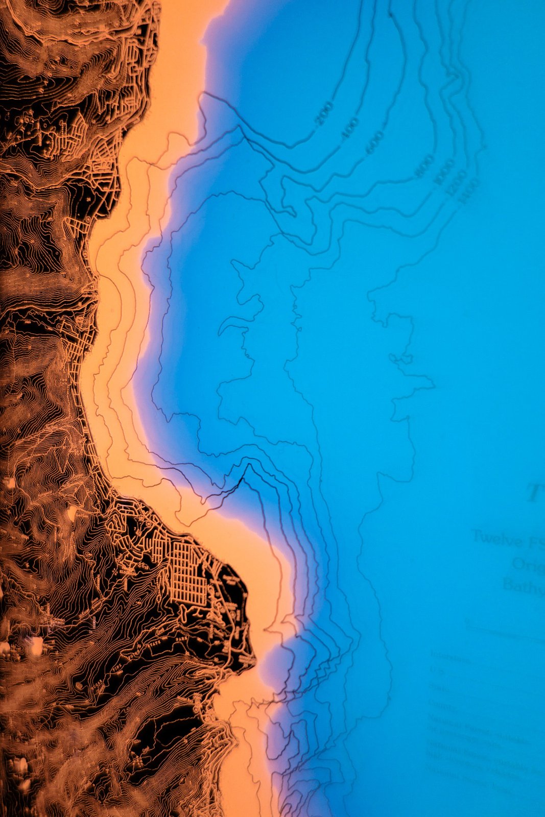
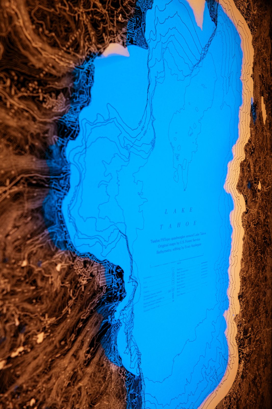
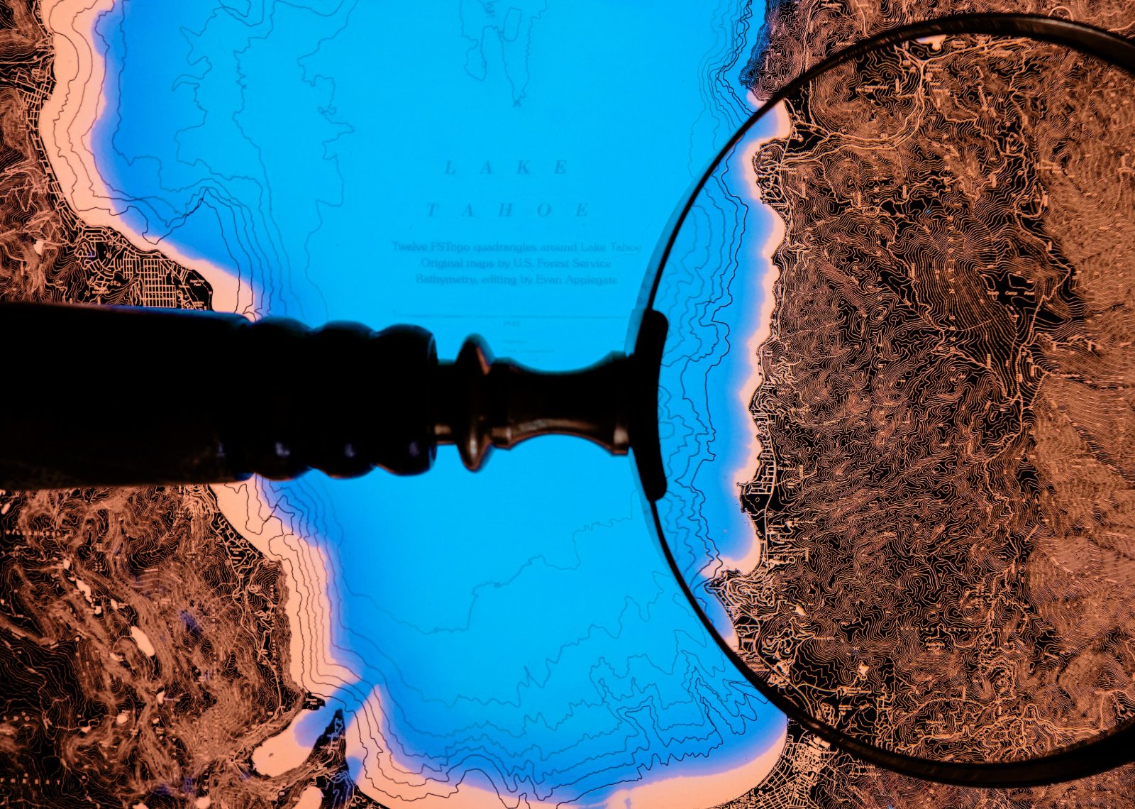
9x12x2” illuminated print. 12 tiled U.S. Forest Service topographic maps combined with my bathymetric contours down to -1,600 feet, 1-pt text you gotta read with a magnifying glass (the closeups are magnified 10x). A piece of glass separating each isobath gives it a beautiful depth and parallax.
Tahoe is the largest alpine lake in the U.S.: go see desert, lake, and forest simultaneously from the Heavenly Valley peaks, take a swim, do some hot yoga in Truckee, gamble in Stateline, bring a tent to the granite slabs of Desolation Wilderness (much more photogenic than it sounds). Those “Keep Tahoe Blue” stickers? Fertilizer runoff feeds algae, lawns delenda est, search “eutrophication” for bummer news.
Ten panes of glass bring this piece to 18 pounds; a desk companion rather than wall art for ah, safety reasons.
Runs on 12V 1A power, plugs into a standard outlet or USB port, both cords are included.
- Made to order, ships by UPS; at your door in about 6 weeks.